
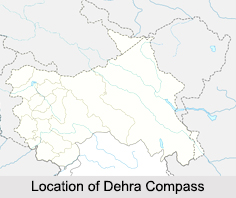
 Dehra Compass is a mountain pass, which is situated in the Ladakh region of Jammu and Kashmir. Dehra Compass, also known as Kompas La, is quite debatable as it falls under Chinese control according to its location but acclaimed by India. The word Dehra has been derived from the Punjabi and Seraiki word dera, which means camp; compass comes from the name of a survey officer, Kompas-Walla. Chinese government occupied the Dehra Compass in the year 1961.
This article is a stub. You can enrich by adding more information to it. Send your Write Up to content@indianetzone.com









