
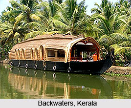
 The hydrography of the backwater is mainly influenced by two factors: the short-term changes induced by the tides and the seasonal changes brought about by the monsoon system. The magnitude of variation within the backwater depends chiefly upon the place of observation. The backwater remains dominated by sea water for about six months, and then, with the commencement of the rains, it becomes freshwater-dominated and continues to remain so with varying degrees for the next six months.
The most extensive occurrence of backwaters of different shapes and sizes in Indian land is to be noted on the west coast in Karwar. These backwaters on the west coast, locally called kayals, are almost invariably associated with streams, i.e., within them are the lower reaches of the streams. All the kayals are marked by tidal flow, i.e., inflow of sea water at the time of high tide and seaward outflow at the time of low tide.
Backwaters also occur along the southwest coast of India in Kerala; e.g. the connection between the Arabian Sea and the backwater near Cochin is maintained by a channel, about 450 meters wide, which forms an entrance to Cochin harbour. Several rivers, irrigation channels and sewers open into this backwater which terminates to a large lake called Vembanad Lake.
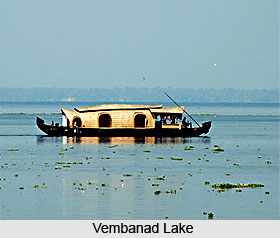 In certain tracts, e.g. between the latitudes of Kavali and Nellore District in Andhra Pradesh, there are disconnected lines of water-bodies which are at a distance of 3 to 8 km from the seashore. Further to the south the lagoon belt is marked by backwaters and marginal swamps ranging from 800 to 2000 m in width and about 1-5 km from the seashore.
The backwaters receive maximum solar radiation from January to April and minimum in July and August due to the cloudiness in the monsoon season. During the pre-monsoon season of maximum solar radiation and warm weather, temperatures throughout the water remain uniform and reach their maximum. With the onset of rains in May, the water temperatures decrease and water at the surface is several degrees warmer than the shallow bottom and a clear thermal gradient develops in the water-column. This difference persists until about September. Salinity remains homogeneous during the pre-monsoon season, indicating that the water is well mixed, but during the monsoon months large quantities of fresh water enter, resulting in low salinity at the surface and high salinity at the bottom.
As far as the vegetation of the area is concerned it mostly has halophytic vegetation which is known by the name `mangrove vegetation`.









