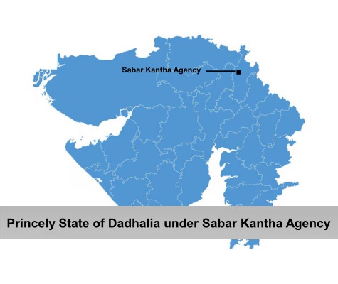
The Princely State of Dadhalia, formally known as Dadhaliya, was one of the prominent princely states of India that was administered by a native prince under the guidance of the British authorities. The princely state was under the indirect control of the British Empire in India. The state was scattered over a total area of 28 sq miles and comprised of a total population of 4,062 in the year 1931. During this period, it was under Mahi Kantha division. The state of Dadhalia was situated in the farthest east of the Sadra Division, which is currently located in the district of Rewar, formerly known as Rehwar.
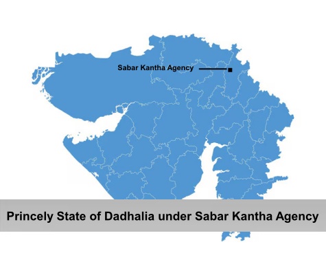
The territory of Princely State of Dadhalia consisted of 15
villages. Dadhalia state was surrounded by the princely state of Idar in the
north and east; by British India in the south; and by the territories of Bolundra
and Mohanpur
in the west.