
The Princely State of Charkha was amongst the well known erstwhile princely states of India during the rule of the British Empire in India. During the early 19th century, the region was appointed as one of the princely states of India under the indirect rule of the British administration. The region was scattered over a total area of 10 sq miles and comprised of a total population of 1,134in the year 1931. The taluka of Charkha was located in the Lakhapadar Thana. The territory consisted of only a two villages. Charkha state was bordered by the princely state of Garmali Moti in the west; and by the princely state of Bhavnagar in the east. The other sides of the princely state were surrounded by the princely state of Amreli.
Location of Princely State of Charkha
The erstwhile princely state of Charkha was under the administrative control of the Baroda Agency, which was incorporated as a part of the Western India States Agency. Later the territory was merged with the state of Gujarat. The state was alson included as a part of the Western Kathiawar Agency and the Lakhapadar Thana as well.
The Lakhapadar Thana, which covered a total area of 111 sq miles and comprised of a population of 13,155 in the year 1931, was located in southeastern Kathiawar region. Most of the 21 estates, which included 247 bhagdars and 41 talukdars in 1940, were bounded by the Amreli Division of Baroda. Some of the estates were also bordered by the talukas of Vala Kathi and the princely state of Junagadh. Lakhapadar thana also implemented jurisdiction over the princely state of Dhasa that belonged to the state of Rai Sankli. It also exercised jurisdiction over Bhayavadar which belonged to the territory of Kotda Pitha for more than 60 years.
History of Princely State of Charkha
The Vala Kathis were the ruling family of Charkha state. The Princely State of Charkha was claimed by more than one native prince, who were formally described as shareholders. There were 4 such shareholders, including bhagdars and talukdars, in the state. Charkha state was primarily a non jurisdictionary princely state and it paid annual tribute to the princely state of Baroda and the princely state of Junagadh. According to the Attachment Scheme of 1943, the princely state of Charkha was attached to the princely state of Baroda.
Accession of Princely State of Charkha
The last native ruler of the princely state of Charkha acceded the territory to the newly independent Union of India after the political withdrawal of the British Government of India from the country on 15th August 1947. After the country was divided between India and Pakistan, the native rulers of the states were given the choice of acceding to either the Union of India or the Dominion of Pakistan. The monarchs of the state decided to merge with the Republic of India. At present, the region is incorporated as a part of the Indian state in Gujarat state.
Princely State of Charkha
Princely State of Charkha was amongst the well known erstwhile princely states of India during the rule of the British Empire in India. It covered a total area of 10 sq miles.
Recently updated articles in History of India
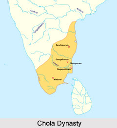
Chola Dynasty
Chola Dynasty is a Tamil dynasty and had longest duration of ruling in parts of South India. Chola dynasty had ruled South India successfully for a ex...
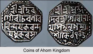
Suhungmung
Suhungmung was the fourteenth ruler of the Ahom dynasty who ruled from the period 1497 to 1539 AD. His reign was significant in terms of expansion of...
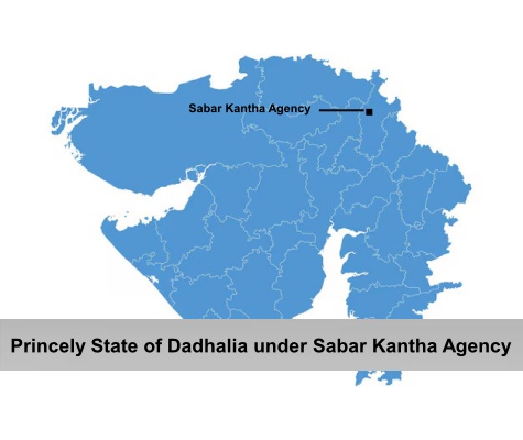
Princely State of Dadhalia
Princely State of Dadhalia was located in the present state of Gujarat. The state covered a total area of 28 sq miles and comprised of 15 villages. Th...
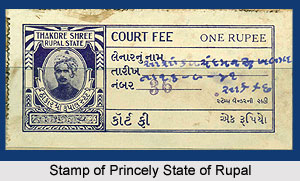
Princely State of Rupal
Princely State of Rupal was a part of the Baroda Agency, a sub division of Western India States Agency. It was under the administrative control of the...
Archaeological Sites of West Bengal
Archaeological sites of West Bengal reveal several aspects of ancient India. Excavations by the Archaeological Survey of India have furnished artefact...
Related articles in History of India
Mughal Architecture during Babur
Mughal architecture during Babur marked the foundation of a new architectural era in India, blending Timurid, Persian, and local influences. His reign...
Architecture during Sayyid and Lodi Dynasty
Architectures during the Sayyid and Lodi dynasty were mainly the tombs and monuments for the dead rulers. It were carefully designed and meticulously...
Brahmanical Sources of Ancient History
Brahmanical Sources of ancient history are contained in the Vedas and they constitute one of the most important literary sources of information about...
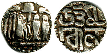
Coins of Chola Empire
Coins of Chola Empire were issued in gold, silver and copper and carried the Chola emblem.
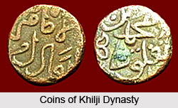
Coins of Khilji Dynasty
Coins of Khilji Dynasty had an influential feature that was followed by the other dynasties.