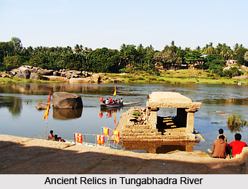
 Gadag district lies in the central part of Northern Karnataka, between 14.52 North latitudinal parallels and 75.17 and 76.02 East longitudinal parallels. The district is bounded by six districts, namely, Dharwad district on the West, Belgaum district on the North-West, Bagalkot District on the North, Koppal on the East, Bellary district on the South-East and Haveri District on the Southwest. Tungabhadra River in the South and Malaprabha River in the North form the natural boundaries. The district covers a total geographical area of 4656 Sq. Kms. Lying about 657.4 metres above mean sea level, it measures 104 Kms from North to South and 84 Km from East to West.
The climate of Gadag district is quite agreeable and healthy. Within the district the southern belt has a more pleasant weather. The year is usually divided into four seasons. Summer sets in during the second half of February and lasts till the end of May. This season is marked by harsh eastern winds, rising temperatures whirlwinds, and occasional thunderstorms accompanied by sharp showers. South-west monsoon season starts during early June and lasts till the end of September. This is a period of cool and damp climate. The months of October and November constitute the post monsoon or the north-west monsoon season and this period witness a gradual rise in day temperatures and a substantial amount of rainfall as well. The winter season covers the period from December to mid February. The district enjoys a moderate weather and is not subject to extremes either during summer or winter.
The average maximum temperature of 37.3 C is in the month of April. December has the minimum temperature of 16.5 C. Gadag district receives average annual rainfall of 612.5 mm and within the district the quantum of rainfall and the average number of rainy days decreases as one moves from west to east. During the south west monsoon 56 percent of the annual rainfall precipitates. There are 15 rain gauge stations in the district.
Only about 7 percent of the total geographical area is covered by forests and a large part of it belongs to the shrub category. The district is deficient in forest wealth and the same holds true for the fauna as well.
 Gadag is primarily and agriculture based district. The main food crops are jowar, wheat, maize and pulses while the important commercial crops are groundnut, chillies, onion and cotton. Of the gross cropped area, cereals occupy about 39 per cent followed by pulses 15 per cent, oilseeds 34 percent, and commercial crops 12 percent. Gadag contributed substantially to the states total production of cotton, groundnut onion and jowar. The major horticultural crops grown in the district are pomegranate, chickoo and flowers. Sericulture activity, though it has made a beginning, is yet to pick up in the district.
There is no major irrigation project seen in the district. This is significant of the vulnerability of the agricultural economy and emphasises the importance of dry land farming in its overall economy. The Right Bank canal of Malaprabha Project located in neighbouring Savadatti taluka of Belgaum district irrigates the entire Nargund taluka (all villages) and portion of Ron taluka (12 villages). The other sources are tanks, wells, bore wells and lift irrigation. About 17.17 percent of the net area sown is having irrigation facilities. Canals account for 52.43 percent and wells account for 10.56 per cent of the total irrigated areas.
Gadag ranks twenty-sixth places in term of population in the state. Gadag is relatively less densely populated because of the overall density of population in the district is 209 per sq.Km as compared to the state average of 275 per Sq.km as per 2001 Census.


