
The Rewa Kantha Agency was a former political unit of the British Empire in India that administered a group of princely states of India. It was created entirely of princely states of India, which were controlled by native rulers and Indian princes. The agency was managed by a resident of British India, also known as political agent, who officially served as a diplomat but was also responsible for keeping the ruler to maintain the association and alliance with the British administration. The British Resident was a government official who took up residence in a princely state and conducted several official diplomatic functions that aided in the British indirect rule. The political agent resided at Godhra and was also collector of the British district of the Panchmahal,
Rewa Kantha was subordinate to the government of Bombay Presidency. The territory spanned 150 miles from the plain of Gujarat to the hills of Malwa, between the Tapti River to the Mahi River crossing the Rewa or Narmada River. The name of the agency is derived from the name of the Rewa River.
The Rewa Kantha Agency consisted of around sixty one Indian princely states, most of which were under the jurisdiction of the British Government of India. Rajpipla was the largest state in the agency and was located on the bank of Goma River, close to Kalol in Panchmahal district. Rajpipla was in the Bakrol taluqdari estate in panchmahal, also known as Boru Bakrol, which was situated near Boru Village. Bakrol Gohil Rajputs originated from the Rajpipla Gohil dynasty who were ancesters of Thakur Rudoji Visoji Thakur of Gogha. The Rewa Kantha Agency also included 5 second class princely states, namely Balasinor state, Lunawada, Santrampur state, Devgadh Bariya state and Chhota Udaipur. The agency covered a total area of 12,877 sq km and the total population of the region in the year 1901 was 479,065. Kolis and Bhils comprised most of the inhabitants of the territory. The princely states in the Rewa Kantha Agency came under the authority and suzerainty of the British administration after the Third Anglo Maratha War during the early 19th century.
After India achieved independence on 15th August 1947, the rulers of the various princely states acceded to the newly formed Union of India, also known as the Dominion of India, and the agency was incorporated into Bombay State. Later in the year 1960, the state of Bombay was divided along linguistic lines and Rewa Kantha Agency became part of the state of Gujarat.
Rewa Kantha Agency
Rewa Kantha Agency was a former political office of the British which was administered by the native rulers under the indirect control of the British.
Recently updated articles in History of India
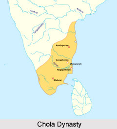
Chola Dynasty
Chola Dynasty is a Tamil dynasty and had longest duration of ruling in parts of South India. Chola dynasty had ruled South India successfully for a ex...
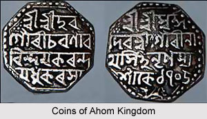
Suhungmung
Suhungmung was the fourteenth ruler of the Ahom dynasty who ruled from the period 1497 to 1539 AD. His reign was significant in terms of expansion of...
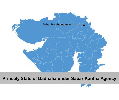
Princely State of Dadhalia
Princely State of Dadhalia was located in the present state of Gujarat. The state covered a total area of 28 sq miles and comprised of 15 villages. Th...
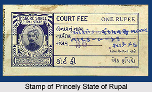
Princely State of Rupal
Princely State of Rupal was a part of the Baroda Agency, a sub division of Western India States Agency. It was under the administrative control of the...
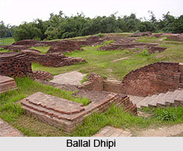
Archaeological Sites of West Bengal
Archaeological sites of West Bengal reveal several aspects of ancient India. Excavations by the Archaeological Survey of India have furnished artefact...
Related articles in History of India
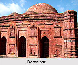
Mughal Architecture during Babur
Mughal architecture during Babur marked the foundation of a new architectural era in India, blending Timurid, Persian, and local influences. His reign...
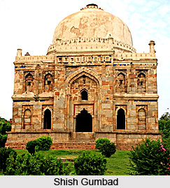
Architecture during Sayyid and Lodi Dynasty
Architectures during the Sayyid and Lodi dynasty were mainly the tombs and monuments for the dead rulers. It were carefully designed and meticulously...
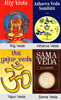
Brahmanical Sources of Ancient History
Brahmanical Sources of ancient history are contained in the Vedas and they constitute one of the most important literary sources of information about...
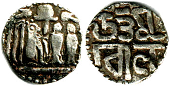
Coins of Chola Empire
Coins of Chola Empire were issued in gold, silver and copper and carried the Chola emblem.
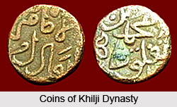
Coins of Khilji Dynasty
Coins of Khilji Dynasty had an influential feature that was followed by the other dynasties.