
The Kathiawar Agency was a political office of the British Empire in India that dealt with a collection of around 200 princely states of India. These states were under the control of the Bombay Presidency of British India. The Agency was located in the Kathiawar peninsula in the western part of the Indian subcontinent. After the Indian independence and withdrawal of the British in the year 1947, most of the princely states acceded to the newly formed Union of India. These were later merged with the state of Bombay. The territory was later incorporated into the new state of Gujarat in the year 1960, after the Bombay state was divided into Maharashtra and Gujarat states.
There were a total of 193 princely states in the Kathiawar Agency that varied in importance and size. Among these, 14 states exercised independent jurisdiction and the rest of the states were under varying degrees of British control and administration. The first class included 8 princely states, namely Porbandar, Nawanagar, Morvi, Junagadh, Jafarabad, Gondal, Dhrangadhra and Bhavnagar. The Kathiawar Agency was spread over a total area of 54,080 sq km. According to the Census of India in 1901, the total population of the territory was 2,329,196. The Agency was managed by a Resident of British India, also known as political agent, who was appointed to the Governor General of the British India. The headquarters of the political agent was at Rajkot. The Rajkumar College was also located in Rajkot where the sons of the Indian Princes were educated. At Gondal, there was another educational institute for the chiefs of lower ranks.
The Kathiawar Agency developed and implemented an outstanding system of metre gauge railways that was established with the financial support of the major princely states within the territory. Maritime trade was also well developed in the Agency and the major ports were Veraval, Mangrol and Porbandar. The progressive activities of the territory received a setback due to the famine during the years 1899- 1900, which was extreme severe. As a result of the famine the population of the Indian princely states in the Kathiawar Agency decreased by 15 per cent.
Kathiawar Agency
Kathiawar Agency was an erstwhile political unit of the British Empire in India which was situated in the Kathiawar peninsula in the western India.
Recently updated articles in History of India
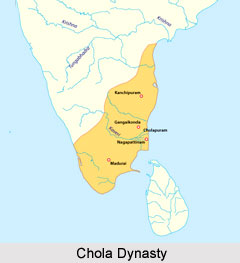
Chola Dynasty
Chola Dynasty is a Tamil dynasty and had longest duration of ruling in parts of South India. Chola dynasty had ruled South India successfully for a ex...
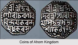
Suhungmung
Suhungmung was the fourteenth ruler of the Ahom dynasty who ruled from the period 1497 to 1539 AD. His reign was significant in terms of expansion of...
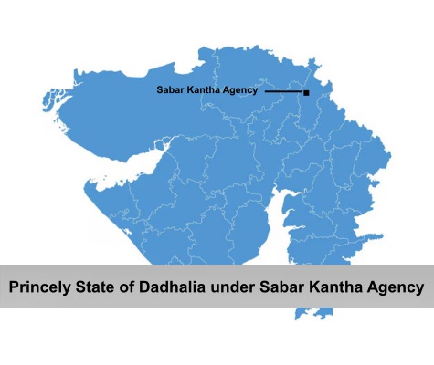
Princely State of Dadhalia
Princely State of Dadhalia was located in the present state of Gujarat. The state covered a total area of 28 sq miles and comprised of 15 villages. Th...
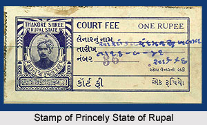
Princely State of Rupal
Princely State of Rupal was a part of the Baroda Agency, a sub division of Western India States Agency. It was under the administrative control of the...
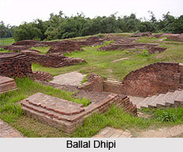
Archaeological Sites of West Bengal
Archaeological sites of West Bengal reveal several aspects of ancient India. Excavations by the Archaeological Survey of India have furnished artefact...
Related articles in History of India
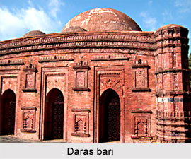
Mughal Architecture during Babur
Mughal architecture during Babur marked the foundation of a new architectural era in India, blending Timurid, Persian, and local influences. His reign...
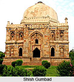
Architecture during Sayyid and Lodi Dynasty
Architectures during the Sayyid and Lodi dynasty were mainly the tombs and monuments for the dead rulers. It were carefully designed and meticulously...
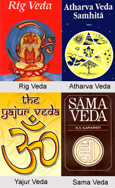
Brahmanical Sources of Ancient History
Brahmanical Sources of ancient history are contained in the Vedas and they constitute one of the most important literary sources of information about...
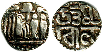
Coins of Chola Empire
Coins of Chola Empire were issued in gold, silver and copper and carried the Chola emblem.
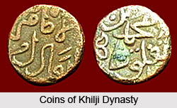
Coins of Khilji Dynasty
Coins of Khilji Dynasty had an influential feature that was followed by the other dynasties.