
The Princely State of Talcher was under the Eastern States Agency (Orissa States Agency) and was located in Orissa. The state covered a total area of 399 sq miles and comprised of a total population of 86,432 in the year 1941. The princely state is bounded by Pal Lahara in the north; by Dhenkanal in the east; by the erstwhile state of Angul (Province of Orissa) in the west; and by Bamra in the northwest. The territory was named Talcher after the goddess Taleswari, who was the patroness of the ruling family. The native ruler of the Princely State of Talcher held the hereditary title Raja since 1874. In the 17th century, Raja Ayadi assumed the title of Birabar Harichandan Mahipatra, which was borne by all Talcher rulers ever since.
History of Princely State of Talcher
The Raja of Talcher state exercised the powers of a ruling chief and had full authority over the administration of the state. There were no zamindaris in the region. Later in the year 1939, constitutional reforms were initiated after various disturbances through out the region of Orissa. Talcher was one of the original constituent members of the Chamber of Princes, a number of smaller states indirectly represented by twelve princes who were periodically elected by them. In the year 1943, the Raja of Talcher was admitted to the Chamber in his own right.
The Suryavanshi Rajputs claimed to be the ruling family of the princely state of Talcher, who founded the territory during the 15th century. During the rule of the Mughals and the Marathas, Talcher state paid tribute through Khurda, the premier Orissa state. In the 1760s, the native ruler of Khurda defaulted on a large debt to the Marathas and thus the Bhonsle raja of Nagpur removed 14 feudatory states from the tributary control of Khurda. These states included Baramba, Rampur, Nayagarh, Baud Athmallik, Angul, Hindol, Daspalla, Baramba, Khandpara, Tigiria, Narsinghpur, Banki, Dhenkanal and Talcher. During the Second Anglo Maratha War, the state came under British protection in the year 1803. Talcher state was under the indirect control of the British Empire in India. The native ruler of the state retained sovereign power to administer the internal issues of the princely state.
The princely state of Talcher had its own flag in rectangular configuration and comprised of 3 equal bands that were placed horizontally from the top containing the colours yellow, green and white.
Princely State of Talcher
Princely State of Talcher was under the Eastern States Agency and was scattered over and area of 399 sq miles. The population of the state in 1941 was 86,432.
Recently updated articles in History of India
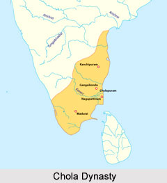
Chola Dynasty
Chola Dynasty is a Tamil dynasty and had longest duration of ruling in parts of South India. Chola dynasty had ruled South India successfully for a ex...
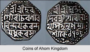
Suhungmung
Suhungmung was the fourteenth ruler of the Ahom dynasty who ruled from the period 1497 to 1539 AD. His reign was significant in terms of expansion of...
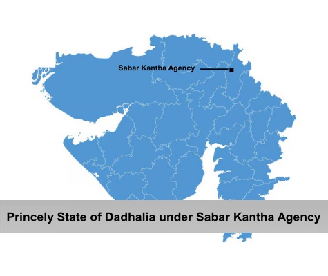
Princely State of Dadhalia
Princely State of Dadhalia was located in the present state of Gujarat. The state covered a total area of 28 sq miles and comprised of 15 villages. Th...
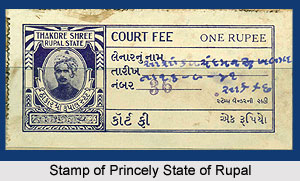
Princely State of Rupal
Princely State of Rupal was a part of the Baroda Agency, a sub division of Western India States Agency. It was under the administrative control of the...
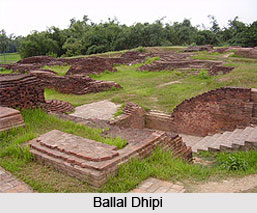
Archaeological Sites of West Bengal
Archaeological sites of West Bengal reveal several aspects of ancient India. Excavations by the Archaeological Survey of India have furnished artefact...
Related articles in History of India
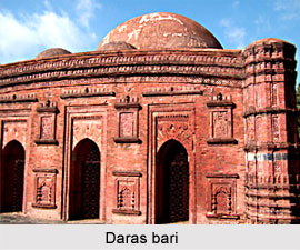
Mughal Architecture during Babur
Mughal architecture during Babur marked the foundation of a new architectural era in India, blending Timurid, Persian, and local influences. His reign...
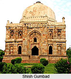
Architecture during Sayyid and Lodi Dynasty
Architectures during the Sayyid and Lodi dynasty were mainly the tombs and monuments for the dead rulers. It were carefully designed and meticulously...
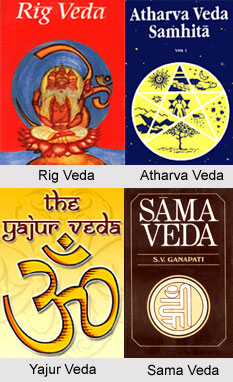
Brahmanical Sources of Ancient History
Brahmanical Sources of ancient history are contained in the Vedas and they constitute one of the most important literary sources of information about...
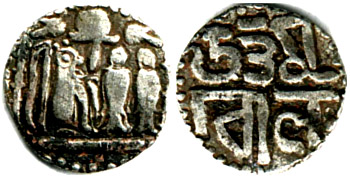
Coins of Chola Empire
Coins of Chola Empire were issued in gold, silver and copper and carried the Chola emblem.
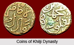
Coins of Khilji Dynasty
Coins of Khilji Dynasty had an influential feature that was followed by the other dynasties.