
Coorg Province was a distinct state within the Dominion of India, also known as Union of India, from the year 1950 to 1956. The capital of the state was at Mercara. The region of Coorg, also known as Kodagu, was initially a small autonomous kingdom until 1834, but after the war of Coorg, the native king of the territory was deposed and Coorg was annexed by the British East India Company. Thus in the year 1834, the region became a separate province under the rule of the British Empire in India. After the withdrawal of the British and Indian independence, the territory of Kodagu or Coorg was appointed as one of the states under the newly formed Union of India.
History of Coorg Province
The Coorg Province was located in the Western Ghats between the princely state of Mysore and Malabar. After the fall of the Vijayanagar Empire in 1565, many native rulers declared their sovereignty. Vira Raja, a member of the ruling family of Bednur relocated to the region of Haleri, which was in the northern part of Coorg. Eventually he gained dominance over other nayaks in the territory. His brother Muddu Raja moved the capital to Madikeri in the year 1681. Muddu Raja had 3 sons who belonged to the 3 branches of the Wadiyar family who reigned over Coorg until the annexation of the Coorg state in the year 1834. The British army invaded the region of Coorg in March, 1834 and the native ruler accepted the supremacy of the British administration. During this period, the province covered a total area of 2,100 sq m and comprised of a total population of 125,000 in the year 1851.
The state of Coorg or Kodagu was created out of the region of the erstwhile Coorg Province that was incorporated into the Union of India, after the country achieved independence from the dominion of the British Government of India on 15th August, 1947. The territory of Coorg was administered as one of the provinces of India, until it was formed as a Class C State and renamed as Coorg State on 26th January, 1950, located in the newly independent Republic of India. Such type of Class C State was under direct rule of Central Government of India. In the year 1956, when the borders of Indian states were reorganized and restructured, Coorg was incorporated as a part of the then Mysore state.
The former state of Mysore was eventually renamed as Karnataka state, and the historically significant territory of Coorg became a part of the district of Kodagu of Karnataka state.
Coorg Province
Coorg Province was a separate state within the Union of India from 1950 to 1956. The region became a separate province under the British in 1834.
Recently updated articles in History of India
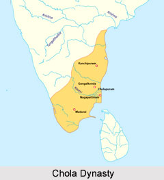
Chola Dynasty
Chola Dynasty is a Tamil dynasty and had longest duration of ruling in parts of South India. Chola dynasty had ruled South India successfully for a ex...
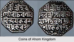
Suhungmung
Suhungmung was the fourteenth ruler of the Ahom dynasty who ruled from the period 1497 to 1539 AD. His reign was significant in terms of expansion of...
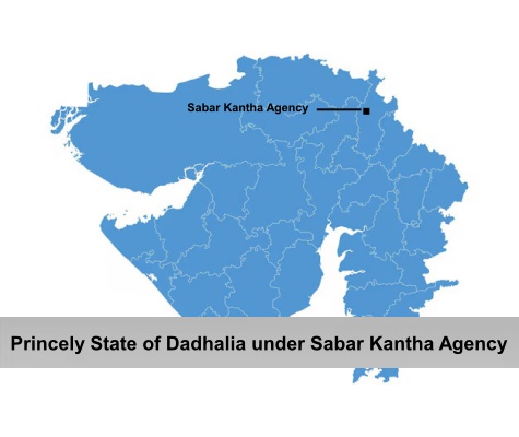
Princely State of Dadhalia
Princely State of Dadhalia was located in the present state of Gujarat. The state covered a total area of 28 sq miles and comprised of 15 villages. Th...
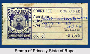
Princely State of Rupal
Princely State of Rupal was a part of the Baroda Agency, a sub division of Western India States Agency. It was under the administrative control of the...
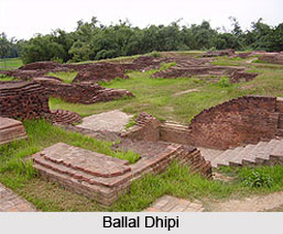
Archaeological Sites of West Bengal
Archaeological sites of West Bengal reveal several aspects of ancient India. Excavations by the Archaeological Survey of India have furnished artefact...
Related articles in History of India
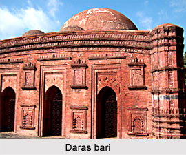
Mughal Architecture during Babur
Mughal architecture during Babur marked the foundation of a new architectural era in India, blending Timurid, Persian, and local influences. His reign...
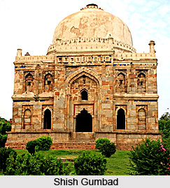
Architecture during Sayyid and Lodi Dynasty
Architectures during the Sayyid and Lodi dynasty were mainly the tombs and monuments for the dead rulers. It were carefully designed and meticulously...
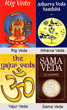
Brahmanical Sources of Ancient History
Brahmanical Sources of ancient history are contained in the Vedas and they constitute one of the most important literary sources of information about...
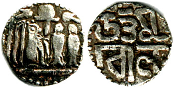
Coins of Chola Empire
Coins of Chola Empire were issued in gold, silver and copper and carried the Chola emblem.
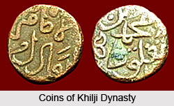
Coins of Khilji Dynasty
Coins of Khilji Dynasty had an influential feature that was followed by the other dynasties.