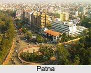
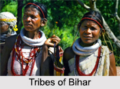
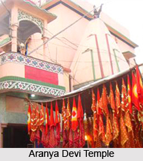
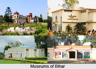
Introduction
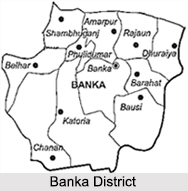
Banka District of Bihar is part of the Bhagalpur Division. Banka Town is the districts headquarter. The district has been established on 21st, February, 1991. Earlier it was a sub-division of the Bhagalpur District. Mandar Hill is an important recognition of Banka District. As far as the administration of the Banka District is concerned, it can be said that the district consists 11 blocks and 2 towns; namely Banka and Amarpur. The place developed rapidly after becoming a district. Banka is the homeland of the revolutionary Satish Prasad Jha, one of 7 martyrs who hoisted the Indian flag at the Secretariat building near Patna on 11 August 1942.
Geography of Banka District
Banka District is situated in far south-east of Bihar. The eastern and southern border of the district coincides with Godda District of Jharkhand State. In west and north-east it touches Jamui District and Munger district respectively. The old district Bhagalpur is situated in the north side of Banka. The geographical area of the district is 3019.34 is square kilometers.
Banka District in Bihar includes most part of the Chanan River or better known as Chandan River. Chanan River is the main river of Banka District. The Belharni River and Barua River flows in the northwestern area of the district. Chanan and Orhni River flows from middle of the district. The river Cheer meets river Chanan in the north- eastern of Mandar Giri which rises in the east of Mandar.
The climate of this district is characterized by a hot summer and a pleasant winter season. March to June comprises the summer months while the cold season lasts from November to February. Monsoon sets in sometimes in the part of June and the rains continue till September. October being a transitional month the district also receives some winter rains.
The south west monsoon generally breaks in during the second half of June. The bulk of the rainfall occurs in July and August. The average annual rain fall is 1200 mm almost uniformly throughout the district.
In Banka District agriculture is mainly dependant on rainfall. But presently due to errant rainfall the administrative body of the district has arranged for various irrigation facilities in the district. The minerals that are commonly found in the Banka District of Bihar are sand, china clay and granite.
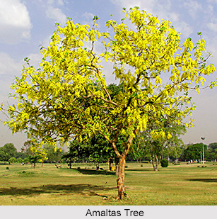
The district also has forested area under Banka, Bounsi Katoriya forest ranges. The wood of Banka range lie on the Hill slopes, those in the other two ranges lie in undulating land. Among the prominent variety of trees in forested areas are the Sal, which is usually found associated with abuns, asan, kendu and mahua. Some other trees are bahera, kadam, amaltas. Among the specials of the acacia are babul, sirish, and sain babul. Among the fruits trees those of mango and jack fruits are common. Plantains, Date plants, Plums, Jamun tree are some of the other important fruits trees.
Monkeys are common in the district, particularly the hanuman. So are jackal, deer, lion, bear, and leopards. Among the latter are Barsingha and Sambhar. Wild geese, duck, leel, and quail are some of the game birds inhabiting the district. Peacocks, Parrots, Hawks, and Doves are other birds found in Katoriya forest or the Chandan forest. Sparrows, Crows and Vultures are also common. Several kinds of fishes are found like Rohu, Katla, Boari, and Tengra.
Demography of Banka District
According to the Census of 2011, Banka District had population of 2,029,339 of which male and female were 1,064,307 and 965,032 respectively. The population of the Banka District constituted 1.95 percent of total population of Bihar. The average literacy rate of Banka District was 60.12 percent. The total literates in Banka District were 1,002,069 of which male and female were 612,053 and 390,016 respectively.
Economy of Banka District
The main occupation of the people of Banka District is agriculture. Paddy is the most important food crop in the district while sugarcane is the most important non food crop of the district. The farmers of Amarpur, Rajoun, Dhoraiya circle grows sugarcane in abundance. Pisciculture also has grown as an important occupation of people of Banka District. As far as industrialisation of the Banka district is concerned, it can be said that the district is totally backward in industrialization.
Banka District of Bihar though not much developed economically but the communication system of the district is developed to a large extent. It is one of the 36 districts in Bihar currently receiving funds from the Backward Regions Grant Fund Programme (BRGF).