 Geography of Tikamgarh district is vast with an area of five thousand forty eight square kilometers. This district is situated in the northern portion of Madhya Pradesh. The district of Tikamgarh forms the north-western portion of the Sagar district. It is located on the Bundelkhand Plateau between the Jamni River, a tributary of Dhasan River and Betwa River. The district of Tikamgarh is situated in between twenty four degree twenty six minutes and twenty five degree thirty four minutes to the North Latitudes and between seventy eight degree twenty six minutes and seventy nine degree twenty one minutes to the East Longitudes.
The shape of the Tikamgarh district is triangular with a very irregular northern margin. The maximum length of this district is about one hundred and nineteen kilometers from North to South and the width is about eighty kilometers. The district of Tikamgarh is bounded by the district of Chhatarpur to the east, Lalitpur district of Uttar Pradesh to the West, Jhansi district to the North and the district of Sagar to the South. The Eastern and Western boundaries are formed by two big rivers.
The climate of this district is monsoon type. The year may be divided into four seasons with winter season starting from the month of December till February followed by the summer season from the month of March to about the middle of June. The period from about mid-June to the end of September forms the rainy season. October and November form the post-monsoon or transition season. There is a single rain gauge station in the Tikamgarh district. The average rainfall of the district is forty inches. It varies from thirty three inches to fifty four inches in different parts of the district. Generally rainfall in the district increases from northwest to southwest. Some parts of the Niwari tehsil and Mohangarh of Jatara tehsil also come in the low rainfall zone. About ninety percent of the annual rainfall in this district of the Madhya Pradesh state is received during the south-west monsoon season which is from June to September. The month of July is the rainiest month.
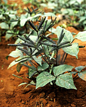
The temperature in the district of Tikamgarh rises progressively after the month of February. The month of May is usually the hottest month with mean daily maximum temperature at about forty three degree Celsius and the low temperature being twenty nine degree Celsius. Temperature even rises to forty seven degree Celsius on some days. The district experiences a high relative humidity during the monsoon season, which is generally above seventy percent, while in the rest of the year the air is comparatively dry. The driest part of the year in this district is during the summer season when the relative humidity is less than twenty percent in the afternoons. Agriculture and related pursuits have always been the predominant occupation of the mainly rural area which, though not among the most fertile, has enough to reward well the tradition bound and hard working farming community of the district. The geographical environment of this district makes possible the cultivation of crops like jowar, urad, wheat, paddy, etc.


