Inland Waterways In India

Inland navigation is a fuel-effective, environment-friendly and economical means of transport.

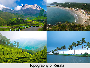
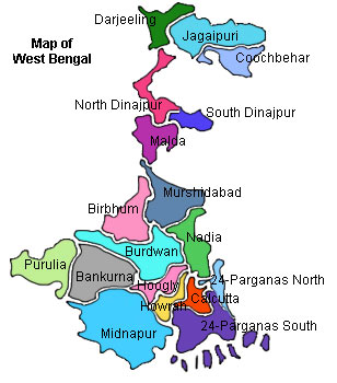
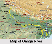
Inland navigation is a fuel-effective, environment-friendly and economical means of transport. India has virtually 14,500 km of traversable watercourses, consisting of rivers, canals, creeks and backwaters, largely from Kerala. From 3,700 km of primary river watercourses, only 2,000 are being employed. Almost 16 million tonnes of goods are ferried through inline watercourses. Presently, a few extents in Ganga, Bhagirathi, Hooghly (West Bengal), Brahmaputra and Barak (Assam), Mandvi in Goa, backwaters of Kerala and deltaic areas of Krishna and Godavari in Andhra are being used. Ganga will be operated in near future, between Farrakka and Patna and then upto Allahabad.

Recently updated articles in Geography of India

Krishnaveni River
Krishnaveni River Thumbnail

Krishnaveni River

The Krishnaveni River, presently known as the Krishna River, is one of India’s major rivers. Originating in the Western Ghats of Maharashtra, it flows...

Wakal River
Wakal River Thumbnail

Wakal River

The Wakal River is an important tributary of the Sabarmati River, originating in Rajasthan’s Aravalli Range and flowing through Rajasthan and Gujarat....

Pahuj River
Pahuj River Thumbnail

Pahuj River

Pahuj River is an important tributary of the Sindh River that flows through the Indian states of Madhya Pradesh and Uttar Pradesh. Originating in the...

Arunavati River
Arunavati River Thumbnail

Arunavati River

Arunavati River is a seasonal right-bank tributary of the Tapi River, flowing through parts of Madhya Pradesh and Maharashtra. Originating in the Satp...

Nira River
Nira River Thumbnail

Nira River

Nira River is an important tributary of the Bhima River flowing through Maharashtra. Originating in the Western Ghats, it traverses Pune, Satara, and...