
The Princely State of Radhanpur was established by Khan Jahan, the founder of the Babi dynasty, in the year 1693. He was the son of the Nawab of Junagadh, Jafar Khan. The capital of the princely state of Radhanpur was at Radhanpur city and was under the Palanpur Agency of Bombay Presidency. The region was a fortified town renowned for its export trade in cotton, grain and rapeseed. The state came under the authority of the British East India Company in the year 1813. Presently, Radhanpur is a municipality and a city in the Patan district in Gujarat state. It is believed that Radhanpur city was named after a descendant of Fateh Khan Baloch named Radhan Khan. Fateh Khan Baloch received autonomy from Ahmad Shah III, the Gujarat Sultan, which included the region of Radhanpur city.
The Nawabs of the princely state of Radhanpur minted their own currency and coins until the year 1900, when the state adopted the currency of the Government of India. After Indian achieved independence, the year 1960, the state was merged with the modern Indian state of Gujarat. The state covered a total area of 1,150 sq miles, but after states were attached, the area covered was 2,016 sq miles. The population of the Radhanpur state was 67,691 in the year 1941. Later the population became 100,644, including the states attached after 1943. The princely state of Radhanpur was in northern Gujarat and included 117 villages and 3 towns. It was part of the Sabar Kantha Agency. The region was under the Baroda Agency and later under Western India States Agency. After Indian independence, the princely state was merged with the modern Indian state of Gujarat.
The Princely State of Radhanpur was bordered by Terwada and Bhabhar in the north; by territories belonging to Baroda and Kankrej Thana and Terwada in the east; by Vanoda, Jhinjhuvada and Dasada in the south; and by the Rann of Kutch and Warahi in the west. The state was honoured as one of the salute states of India with a gun salute of 11 guns. It appeared in the 9th rank in order of precedence among the states of Western India. The native ruler of the state, who held the title of Nawab, exercised executive and administrative powers and contained full civil and criminal jurisdiction. Radhanpur paid no tribute to the British administration or to any other state. The ruler of the princely state received tribute from Rozwa and various other villages in Santalpur and Warahi thanas, and also included Vanod and Dasada in Kathiawar. It also had the right to mint its own currency and coinage.
According to the 1943 Attachment Scheme, 65 states were attached to the territory, including Santalpur and Warahi Thanas, Deodar etc. the total area attached was 866 sq miles with a total population of 32,953. Radhanpur state was one of the main beneficiaries of the attachment scheme.
Princely State of Radhanpur
Princely State of Radhanpur was established by Khan Jahan in the year 1693. The state came under the authority of the British East India Company in the year 1813.
Recently updated articles in History of India
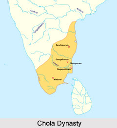
Chola Dynasty
Chola Dynasty is a Tamil dynasty and had longest duration of ruling in parts of South India. Chola dynasty had ruled South India successfully for a ex...
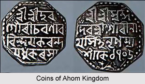
Suhungmung
Suhungmung was the fourteenth ruler of the Ahom dynasty who ruled from the period 1497 to 1539 AD. His reign was significant in terms of expansion of...
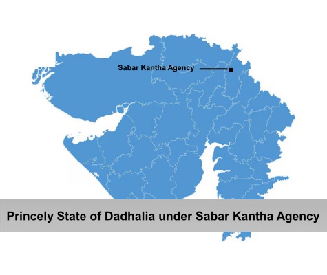
Princely State of Dadhalia
Princely State of Dadhalia was located in the present state of Gujarat. The state covered a total area of 28 sq miles and comprised of 15 villages. Th...
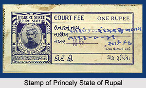
Princely State of Rupal
Princely State of Rupal was a part of the Baroda Agency, a sub division of Western India States Agency. It was under the administrative control of the...
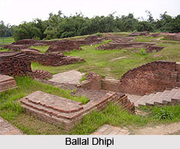
Archaeological Sites of West Bengal
Archaeological sites of West Bengal reveal several aspects of ancient India. Excavations by the Archaeological Survey of India have furnished artefact...
Related articles in History of India
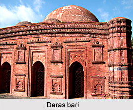
Mughal Architecture during Babur
Mughal architecture during Babur marked the foundation of a new architectural era in India, blending Timurid, Persian, and local influences. His reign...
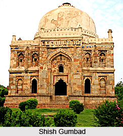
Architecture during Sayyid and Lodi Dynasty
Architectures during the Sayyid and Lodi dynasty were mainly the tombs and monuments for the dead rulers. It were carefully designed and meticulously...

Brahmanical Sources of Ancient History
Brahmanical Sources of ancient history are contained in the Vedas and they constitute one of the most important literary sources of information about...
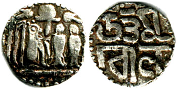
Coins of Chola Empire
Coins of Chola Empire were issued in gold, silver and copper and carried the Chola emblem.
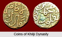
Coins of Khilji Dynasty
Coins of Khilji Dynasty had an influential feature that was followed by the other dynasties.