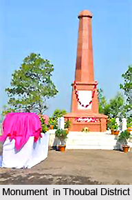
 History of Thoubal District is quite ancient and is marked with numerous gory battles and conflicts. Prior to Indian independence from the British Raj, an international road stretched through this district which connected to Myanmar or Burma via Tammu and Moreh. This road served as the route of several military expeditions which were led by the military forces of Burma and Manipur. Later, the armies of the British Government also used to commute through this road. At Khongjom, the last battle which resulted in Manipur`s political independence had been fought on 1st April, 1891. The valiant actions of Major Paona Brajabashi and his comrades in this battle are admirable. This battle represents patriotism, wherein people had fought desperately for their motherland, despite knowing about their imminent defeat.
During 1931, the disastrous after effects of the cholera epidemic claimed innumerable innocent lives of the inhabitants of Thoubal district. Thoubal district was born in May, 1983. This was done through a notification passed by the Government of Manipur, under the Manipur Land Revenue and Land Reforms Act 1960. As per this notification, the sub division of Thoubal, along with all its administrative sectors was shifted to create a new district. The new district was known as Thoubal and its headquarters were based at Thoubal. In November 1983, Thoubal was divided into Katching and Thoubal. These sub divisions consisted of Waikhong Tahsils and Kakching which also included their existing villages.
The district consists of two development blocks and there are nine main towns inside this Indian district. The nine towns are Yairipok, Kakching Khunou, Lilong, Shikhong Sekmai, Sugnu, Wangjing and a portion of Samurou. A major part of the Imphal District is constituted by a part of Samurou. Kakching and Thoubal are the Municipalities.


