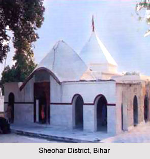
 Sheohar District is an administrative district in the state of Bihar in India. The district headquarters are located at Sheohar, and the district is a part of Tirhut Division. This district came into existence on 6th October, 1994 and was carved out of Sitamarhi District. Eminent Hindi Novelist, Dr. Bhagwati Sharan Mishra was the first District magistrate of Sheohar. The district is one of the most floods affected in Bihar. Dekuli is a holy place popular for ancient temple of Lord Shiva.
Geography of Sheohar District
Sheohar district occupies an area of 349 square kilometers. The district is bordered by Sitamarhi in the North, Muzaffarpur in the South and East Champaran in West. It occupies an area of 442.99 Sq KM. The district is located 26 degree and 24 minutes and 18 seconds latitude and 85 degree 21 minutes and 30 seconds longitude. The main river of this district is Bagmati River. The Sheohar District has 1 sub Division and 5 Blocks.
Demography of Sheohar District
According to the 2011 census Sheohar district has a population of 656,916. This gives it a ranking of 511th in India. The district has a population density of 1,882 inhabitants per square kilometer (4,870 /sq mi). Its population growth rate over the decade 2001-2011 was 27.32 %. Sheohar has a sex ratio of 890 females for every 1000 males and a literacy rate of 56 %.
Economy of Sheohar District
The main occupation of the people of this district is agriculture. Varieties of crops are produced like rice, wheat, and a number of rabi crops are also produced. It is one of the 36 districts in Bihar currently receiving funds from the Backward Regions Grant Fund Programme (BRGF).
Education in Sheohar District
Sheohar District has proper provisions for the primary level but the secondary level and the higher level education is yet to develop. The district has 314 Primary Schools, 93 Middle Schools and 12 High Schools.
This article is a stub. You can enrich by adding more information to it. Send your Write Up to content@indianetzone.com


