 Geography of Pakur District covers the north east corner of Jharkhand. It is surrounded by Sahibganj District in its north, Dumka District in its south, Godda District in west and in the east by Murshidabad District of West Bengal. The year is divided into three main seasons - summer, rainy and winter. Hot weather season starts form March and extend up to mid June with maximum temperature revolving around 44 degree Celsius. The rainy season usually starts from the second week of June to September with low to moderate rainfall throughout the monsoon period. The annual average rainfall of Pakur District is around 135.46 cm. The cold weather season extending from November to February is cold particularly in night with sunny and bright days. Lack of rains in non-monsoon periods and consequential decline in under water table and water flow in the river and rivulets makes the district drought prone. Owing to natural drainage system, floods are rare in Pakur District. However, a small portion of district lying between the Ganga feeder canal and loop line of Eastern Railway is liable to water logging when the river and its tributaries in the rainy season.
Topographically, Pakur District is mainly divided into three parts and these are the hilly area, the rolling area and the alluvial area. The hilly area includes the northern zone of the district up to the southwest zone touching the border of Birbhum District of West Bengal. A narrow continuous strip of alluvial soil which lies between the Ganga River feeder canal and the loop line of Eastern Railway is very fertile. Rest of the parts covers the undulating areas, which is less favourable for agricultural operations. Geography of Pakur District includes three main rivers in this district namely Bansloi, Torai and Brahmani River. Bansloi and Torai rivers flow in the middle while Brahmani flows in the southern part of the district.
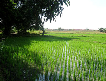
Further, geography of Pakur District is also characterized by vast cultivated lands. The total cropped area of this district of Jharkhand is 79270 hectares followed by uncultivated land of 19580 hectares and land which is not suitable for cultivation accounts for around 32327 hectares. Kharif and Rabi are the main agricultural seasons with paddy as the main crop of the region. Pakur District is not rich in minerals. However, few minerals are found here such as coal, china clay, fire clay, silica and glass sand. However a lot of infrastructural constrains stand in the way of development of mineral industry. The quality of Pakur black stone chips is excellent for constructional purpose.


