 Located in the south Indian state of Tamil Nadu, the Attur Fort is situated in the Salem district of the town of Attur. It was originally believed that the fort was built by the founder of the Gatti Mudalis dynasty, who built the Shiva and Vishnu temples in the fort.
History of Attur Fort
In the late 17th century, the Attur Fort was a part of the Mysore kingdom and later came under the rule of Hyder Ali of Mysore till 1768. Over the centuries, the fort switched hands several times and even came under the British East India Company. After the Third Mysore War the Attur region became part of the Madras Presidency under British. From 1792 onwards, the Attur Fort was used by the British as a garrison by the 23rd Madras battalion. During subsequent years, the fort was used as an ordinance station from 1799 as the Company troops moved to Sankagiri. After 1854, the fort ceased to act as an operational fortress and the region was clubbed into the newly formed Salem district under the Madras Presidency.
Currently in ruins, the Attur Fort is under the control of the Archaeological Department of the Government of Tamil Nadu. The fort is maintained by the Archaeological Survey of India.
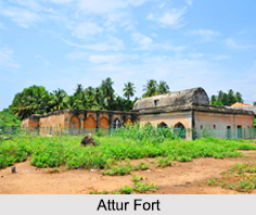
Architecture of Attur Fort
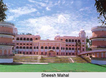
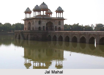
The Attur Fort spreads over an area of almost 62 acres with walls 30 ft in height and 15 ft in width. The construction material for the walls is believed to be quarried from the Kalladithankundru and the walls were decorated by wedge shaped cut stones fitted without mortar. During the Gatt dynasty regime, the large chambers inside the fort was used as an audience hall. There was also a pool house within the fort premises that was used by the royal family.
Visiting Information of Attur Fort
The Attur railway station is the closest at a distance of about 2.5 km from the fort and the Salem Airport is the nearest at a distance of 78 km from the Attur Fort.