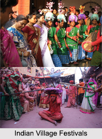
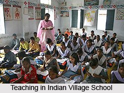
 Thirumalapuram is a village situated in the Andhra Pradesh state of India. It is a village Panchayat in Chityal Mandal of Warangal district in the state. Thirumalapuram is also known as "Thirumalapur". The ancient name for Thirumalapur is "Bokkalapadu". The village has only one government primary school for children up to 5th standard. For higher education, the children from this village travel to Chityal or Jookal. The official language of the village is Telugu. Velichala Gutta is a nearest Hill forest.
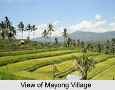
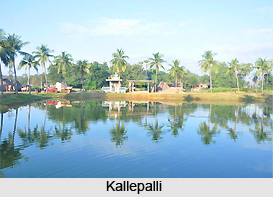
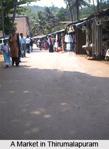
Location of Thirumalapuram
It is located 44 KM towards south from district head quarters Tirunelveli and 695 KM from Chennai. It lies in the border of the Anantapur district and Cuddapah district and is situated near to Bay of Bengal. Chintalapalli, Peddamallepalli, Yellanur, Vemulapalli, and Bukkapuram are the nearby villages to Thirumalapuram. The nearby cities to Thirumalapuram are Tadpatri, Jammalamadugu, Dharmavaram, and Anantapur.
Demographics of Thirumalapuram
The total area of Thirumalapuram is 785 hectares. Total population of Thirumalapuram is 788 of which males constitute 406 and females 382.
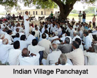
Administration of Thirumalapuram
The Panchayat runs the administration of the village. He is led by sarpanch and ward members. Mannem Srinivas Rao from Gunturpally is the present sarpanch of Gramapanchayat.
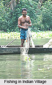
Economy of Thirumalapuram
The only source of occupation in this village is agriculture. There are no legal irrigation facilities and most of the farmers depend on rain water. The Bokkalapadu-pedda-cheruvu River reserves the rain water. The river water is source of irrigation for around 200 acres. The cash crops grown here are cotton, red chilli, etc. And food crops like rice, corn, groundnut, sunflower, turmeric etc are common in the village.
Connectivity to Thirumalapuram
Thirumalapuram is well connected via bus services. There is a RTC bus facility from Parkala and Hanamkonda/Warangal to reach this village. Also, buses towards Chityal, Vekatraopalli, Giddemutharam, Tekumatla, Andukuthanda, etc travels via Thirumalapuram. People can also hire privately operated vehicles like jeeps and vans.
Thirumalapuram has no railway station in less than 10 km. However, there are railway stations in the near by town of Tadpatri. By road, one can reach from Tadpatri to Thirumalapuram. Tadpatri is 26 km from Thirumalapuram.