 Tourism in Ukhrul District involves some famous peaks, caves and lakes which boast of the picturesque natural beauty of this Indian district. It is surrounded by Nagaland in the northern side, Senapati District and Imphal East District in its west, Myanmar in the eastern side and Chandel District in its southern side. Mist-covered hills and cascading waterfalls allure innumerable nature-lovers to this district every year.
Khayang Peak
Khayang Peak is located at an altitude of nearly 3114 metres from sea level and is renowned for being the highest peak of Ukhrul district.
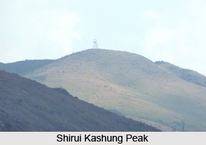
Shirui Kashung Peak
Shirui Peak is situated at an altitude of about 2838 metre from the sea level and this peak is the source of several rivers, which originate from its crevices. During the months of May and June, Siroi lily blossoms adorn this hilltop.
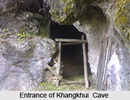
Khangkhui Cave
Khangkhui Cave is a spectacular limestone cave based in the district of Ukhrul. As per the regional folk tales, the northern hall of this cave served as the royal bedroom of the `Devil King` while the grand hall is believed to be his `darbar` hall. Local villages are said to have sought refuge in this cave during World War II.
 Shirui
Located at a distance of nearly 39 km from Ukhrul and 90 km from Imphal, Shirui, it consists of the blossoms of Siroy Lily flower, which is a world-renowned species of flora. This beautiful flower is regionally known as `Kashong Timrawon`. The Kashong Timrawon is said to be a protective spirit which dwells on the Shirui Peak, according to the local folklore. Shirui is visited by innumerable tourists and scientists from across the globe to view this flower.
Khangkhui Mangsor Cave
The cave of Khangkhui Mangsor is based about 15 km from the eastern portion of Ukhrul and it is within the vicinity of the village of Kangkhul. Five tunnels and two giant chambers are present inside this cave, which is linked to numerable regional legends. According to one such legendary tale, the Mangsor deity is a protective deity who is compassionate and quite romantic. He is believed to possess two wives, one of whom belonged to Shirui Peak and the other who hailed from Koubru Hills of Senapati District. The first wife had no children and was granted a grand chamber inside this cave while the second wife was given smaller but more number of rooms, which gives an idea that she bore children.
Kachouphung Lake
This lake is located at a distance of nearly 7 km from the south-eastern portion of Khayang Falls, on the slopes of Achuwa Magi Hills, which is surrounded by some knolls. The total area occupied by Kachouphung Lake is nine acres. Colourful fishes and carp are existent in this lake, which offer ample opportunities for the industry of pisciculture. The shape of the lake is similar to the map of India. During the monsoons, the size of this lake expands. Sometimes, the water of Nily River is drained into this river to increase the size of this lake.
Ango Ching
Ango Ching is situated at a distance of nearly 150 square kilometres and is surrounded by Chamu River in the western side Kachouphung in the northern side, Myanmar in the eastern part and Chatric in the southern part. The region of Ango Ching is amongst the virgin terrain which is enriched with a rich variety of wildlife and vegetation. Leopard, tigers, elephants, black bear, hornbills, peacock tragopan and sambhars are amongst the animals found here.


