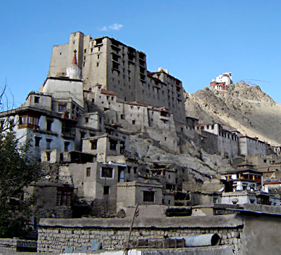
Located in the Gadag district of the southern state of India Karnataka, Mulgund is a historical town. It is in the south of the town of Gadag at a distance of 20 km. The town of Shirhatti is located in the east of Mulgund at a distance of 6 km. Geographically, the town is located between 15.25° North latitude and 75.53° East longitude at an average elevation of 675 metres (2214 feet) above mean sea level. The town derives its name from ` Muni Vrinda` which means group of saints. During the rule of the Jain kings, the place served as Brahmin Agrahara(residence). The nearest airport is the Hubli airport in the northwest at a distance of 48 km. and the nearest railway station is the Gadag Railway station.
The Indian Census report published in 2001 states the demography of the town. According to the report, Mulgund had a population of 18,077. Males comprises of 51% of the population and females account for 49% of the population. In Mulgund, 15% of the population is less than six years of age. The average literacy rate of Mulgund is 53% which is higher than the national average literacy rate which is 59.5%. To be specific, the male literacy rate is 63% and the female literacy rate is 42%.
Historically the town is very significant because three inscriptions of the 11th and 12th century written in Kannada language and belonging to the Rashtrakuta dynasty were excavated from here.


