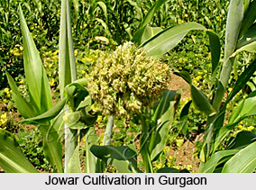
 Geography of Gurgaon District includes diversified plain lands of the region. Here, the drainage problem is of a typical nature; it is difficult because of the drain tendering to flow towards inland depressions instead of flowing out into some river. The soils of Gurgaon District are heterogeneous. At most places it is rocky and water is brackish. Gurgaon District has an industrial as well as an agrarian base. The main crops cultivated here are wheat, gram, barley, bajra and jowar, oilseeds, fodder and vegetables.
The climate of the district, except during the monsoon, is characterized by the dryness in air, a hot summer and a cold winter. The year may be broadly divided into four seasons, winter, summer, monsoon and the post monsoon or the transition period. The winter starts late in November and continues up to the beginning of March. The summer is from March till the end of June. The period from July to mid September is the south west monsoon season. Mid September to end of November constitutes the post monsoon or the transition period. The normal annual rainfall in the district is 553 mm.
The rainfall in Gurgaon District increases from the west towards the east. About 77 percent of the annual rainfall in Gurgaon District is received during the south-west monsoon months. From about the beginning of March, temperatures begin to increase rapidly. May and June are the hottest months when the mean daily maximum temperature is near about 41 degree Celsius. From April onwards, hot dust-laden winds blows and weather is unpleasant. The mean daily maximum temperature in January is about 21 degree Celsius and the mean daily minimum temperature about 7 degree Celsius. Humidity is high in the south-west monsoon season. April and May are the driest months when the relative humidity in the morning is about 30 per cent and in the afternoon less than 20 per cent. Winds are generally light but gain force in the summer and monsoon seasons. In the south-west during the monsoon season heavily clouded skies generally prevail in the region. During the rest of the year skies are mostly clear or lightly clouded.


