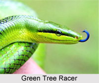
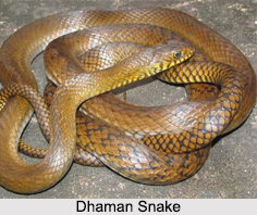
 Mouling National Park is spread over districts of Upper Siang, West Siang and East Siang of Arunachal Pradesh. It is the second National park in Arunachal Pradesh after the Namdapha National Park. Mouling National Park is named after a nearby peak called Mouling peak. Mouling is an archaic word that means "red poison" or "red blood". This is believed to be red latex from a tree species found locally. The area is thought to have a large number of poisonous snakes, but this cannot be verified as the ecology of the area has been sparsely explored. The park is maintained by the Divisional Forest Office that is located in Jengging.
Geography of Mouling National Park
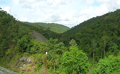
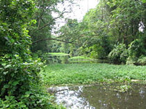
The national park covers an area of about 483 square kilometers forming the western part of the Dihang-Dibang Biosphere Reserve. The terrain is very rugged with an altitudinal range of 750 to 3064 meters at the highest point that is the Mouling Peak. The Siyom River adds to the beauty of the National Park, which flows along the Western fringes of the park. Several small rivers such as the Siring River, Krobong River, Semong River and Subong River drain into the Siang River near the eastern boundary of the Mouling National Park.
Climate of Mouling National Park
The area of Mouling National Park is extremely humid. This area enjoys torrential downpours at about 2343 millimeters annually. In low altitudinal range, the hot weather temperature ranges between 15 degree Celsius and 38 degree Celsius. In the winter seasons, the snowfall is experienced in higher altitudes. The temperature varies from 4.2 degree Celsius to 17.7 degree Celsius at altitudes ranging from 2200 meters onwards.
Flora and Fauna of Mouling National Park
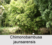
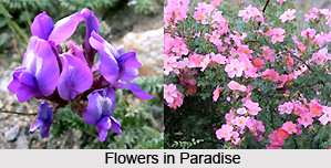
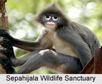
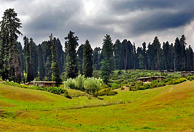
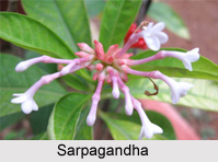
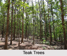
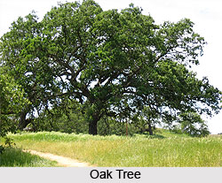
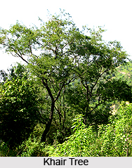
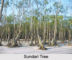
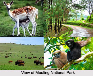
The region around the Mouling National park is one of great bio-diversity, with a juxtaposition of different biotopes, and is often called the state`s cradle of biodiversity. With the elevations ranging from 400 meters to over 3000 meters in the park, it forms a transition zone in between the tropical forests at lower altitudes to most temperate forest at altitudes above 2800 meters. In this forest, several types of animals like Takin, Goral, leopard, Royal Bengal Tiger, barking deer, serow and red panda are found.
Visiting Information on Mouling National Park
There are various modes of transport available by road that heads to the Mouling National Park. The entrance for the Upper Dibang Valley District is Roing. It links to other regions like Dibrugarh and Tinsukia District of Assam. The closest railway station to the national park is Tinsukia District. The nearest major town is Pasighat which is 130 kilometers from the park. The park has two ranges; the Ramsing range that is easily accessible from the Bomdo village and the Jengging range, which is accessible from the Lissing village.