Introduction
Araria District is an administrative district of Bihar. Araria has been engraved out of the parent district of Purnia. The district covers an area of 2,830 sq km. Araria shares its border with Nepal in the north. Araria is the district headquarters of this administrative district. Araria District is situated at the northern part of Purnia District and Madhepura district in Bihar. Borders of Araria District are surrounded by Nepal in northern side, Kishanganj in eastern side and Supaul at western side. Jogbani is the last point of Araria and after that `Virat Nagar` district of Nepal starts.

History of Araria District
Araria District came into existence in 1990 on the auspicious day of Makar Sankranti. The district was formed after the division of the erstwhile Purnia District in Bihar into three districts, Purnia itself, Araria and Kishanganj. Araria has a very glorious history that relates it to the Mahabharata. It describes the conquest of Bhima in the eastern India and furnishes valuable information regarding the antiquity of the district.

Earlier Araria was ruled by three important clans of Indian history. The important tribe of Kiratas governed the northern side, the eastern side was under the Pundras and the Angas ruled the western part. Angas are believed to be the earliest inhabitants of the district, mostly in the area west of the Kosi River. These are the easternmost tribes. The Pundras are said to be the descendents of Saint Vishwamitra whereas the Kiratas were among the few most important ruling clans of that time. It is said that Raja Virata of Mahabharata had married a Kiranti woman who was the sister of Raja Kichaka, King of Kiratas.
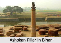
During the Mauryan period this area formed the part of the Mauryan Empire. Later the district formed the part of the empire of Imperial Gupta Empire. A brief account of Araria and its people has been given by Hiuen-Tsang, the famous Chinese traveler, who visited about 640 A.D. As he saw it had a flourishing population and was studded with tanks, hospices and flowering groves. The land was low and humid with abundant crops and genial climate.
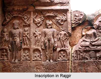
During the 7th century, the tract that has been included in the district was under Sasanka, the powerful king of Gauda. He was worshipper of Lord Shiva. As he was anti Buddhism he destroyed the Buddhist convents and scattered the monks carrying his persecutions towards the Nepalese hills.
Harshavardhana, the great Buddhist ruler of 7th century defeated Sasanka. But after the death of Harsha it seems likely that Araria became a part of Magadhan Empire under Aditya Sena. From the 9th to 12th century it was under the Pala kings and on their decline became subject to the Sena Dynasty rule of Bengal.
At the end of 12th century the Muslims under Bakhtiyar Khilji attacked Bengal shuddering Bihar. Bakhtiar removed the seat of government to Lakhnauti (Gaur) and from this centre Ghiasuddin Iwaz (1211-26) extended the area of Muslim control over the whole country called Gaur as well as Bihar. However due to the impassable network of rivers interspersed with large patches of jungle, the area of Muslim control could not extend to the northern portion of the erstwhile Purnia district, i.e., the present Araria district. Hence the present Araria district seems still to have been held by the hill tribes of Nepal.
Demography of Araria District
According to the Population Census in the year 2011, Araria District had a population of 2,806,200 of which male and female were 1,460,878 and 1,345,322 respectively. The population of the Araria District constituted 2.70 percent of total population of Araria District. The average literacy rate of Araria in 2011 was 55.10 compared to 35.01 of 2001. If things are looked out at gender wise, male and female literacy were 64.15 and 45.18 respectively. The total literates in Araria District were 1,235,303 of which male and female were 751,900 and 483,403 respectively. In 2001, Araria District had 589,679 in its district.
Economy of Araria District
Economy of Araria District is dependent on agriculture. The main crops cultivated here are paddy, maize and jute. There are many jute mills in Araria.
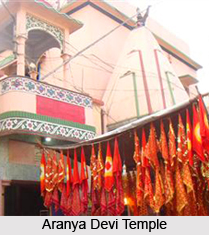
Tourism in Araria District
The important places of tourist attraction in Araria are Madanpur, Palasi and Basaithi Araria is well connected with the other districts of Bihar by bus and railways. The nearest railway station is Araria Court and Araria Railway Station. Araria is also accessible to other parts of India by railways via Katihar.